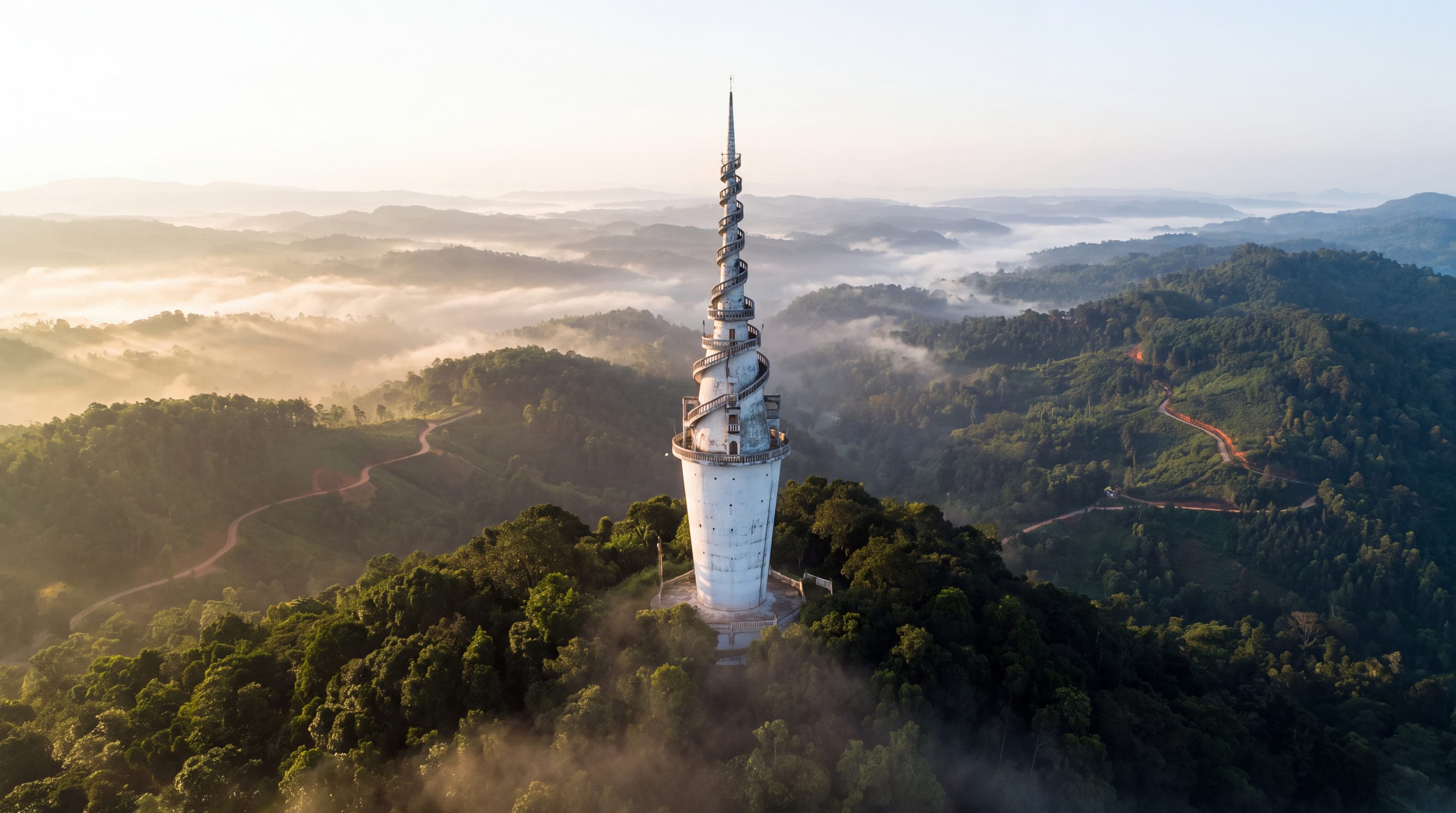
21 places, one island
Every place the island is travelled for, grouped as the map groups them. Each has its page: what it is, when the weather is with you, how you reach it, and what we would put you in front of. Nothing is priced here; the agent prices what you ask for.
West coast
3 places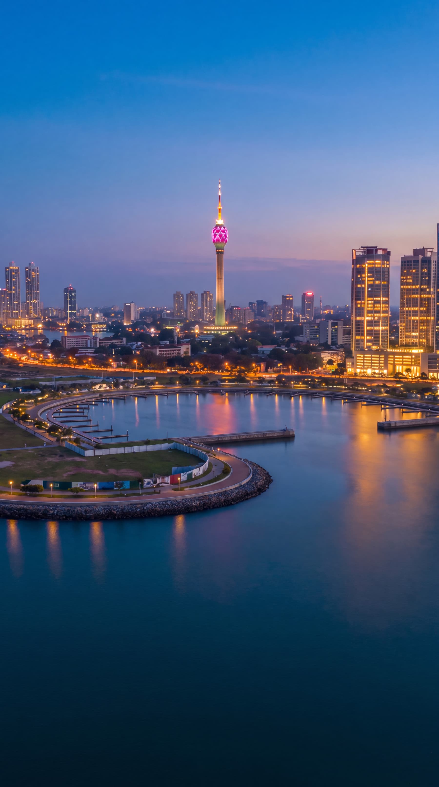
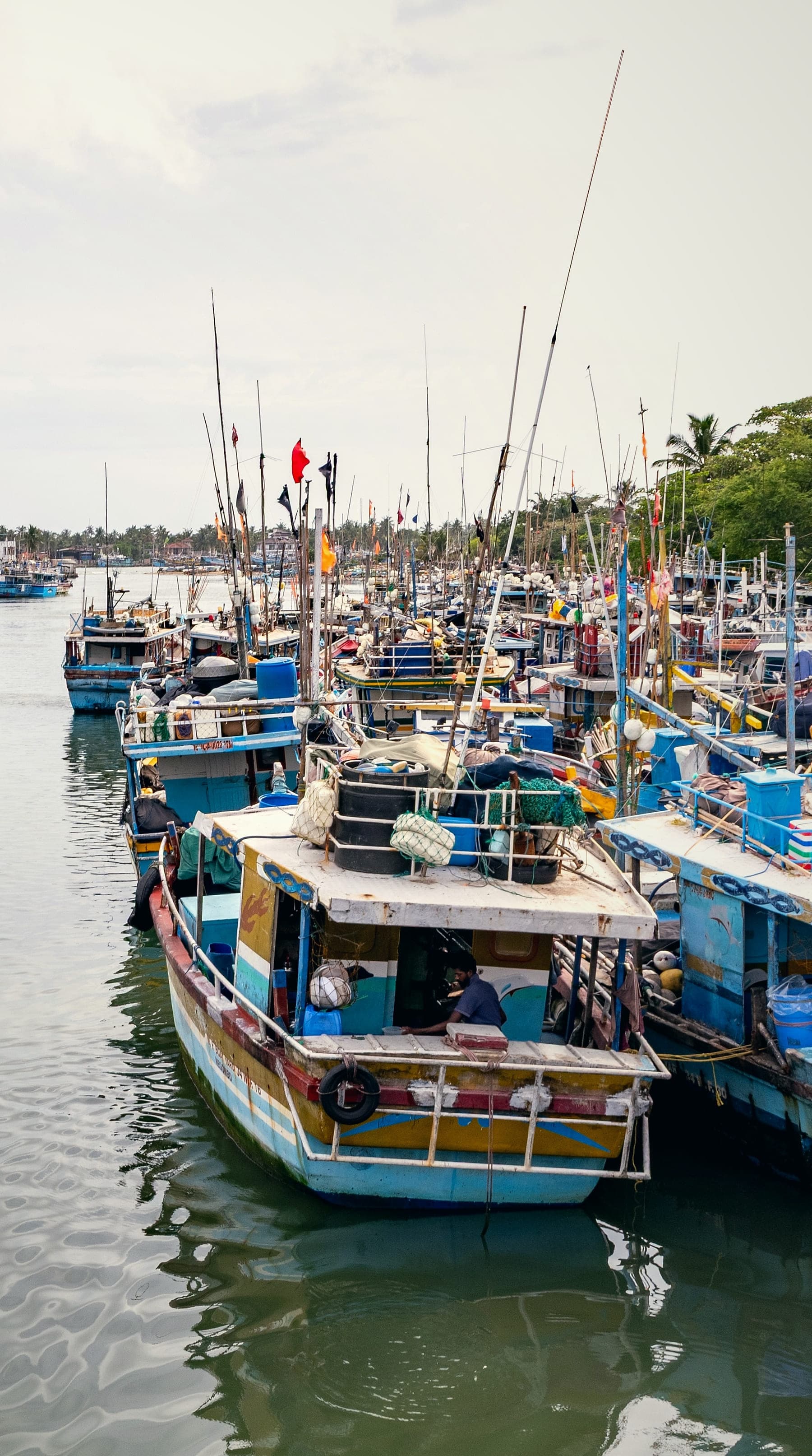
South coast
4 places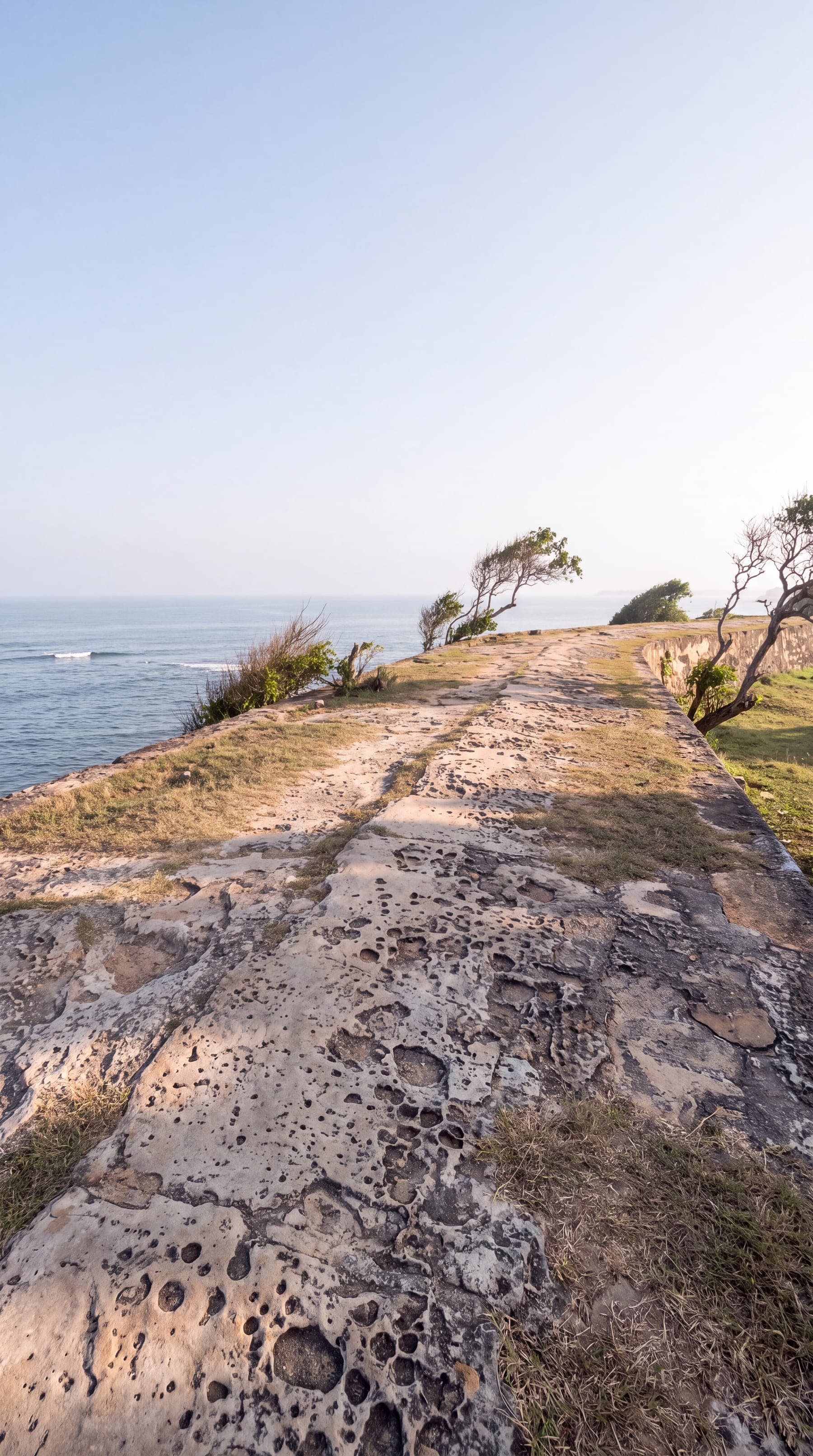
Galle
The Dutch fort on the south-west tip, a World Heritage Site since 1988
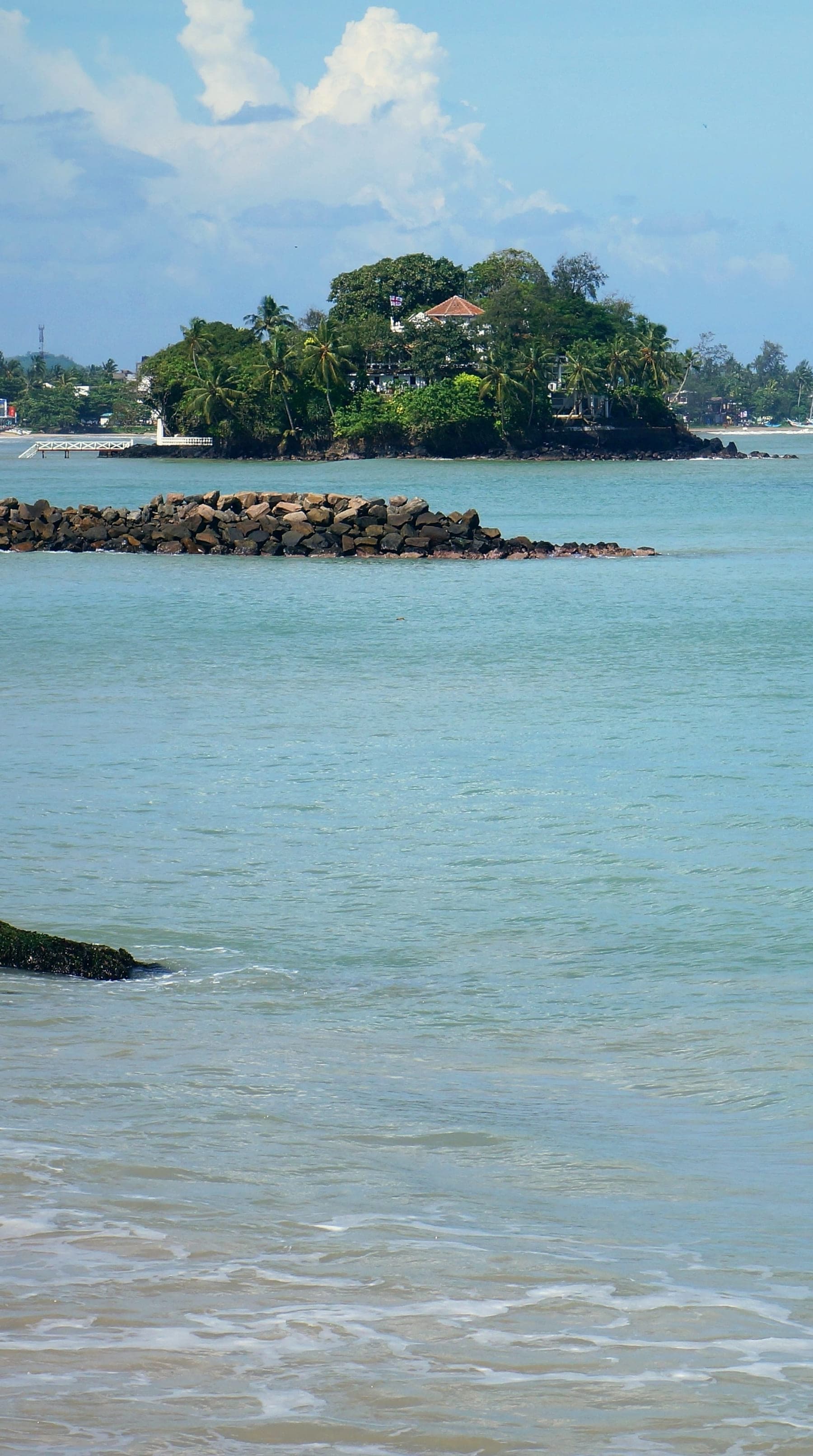
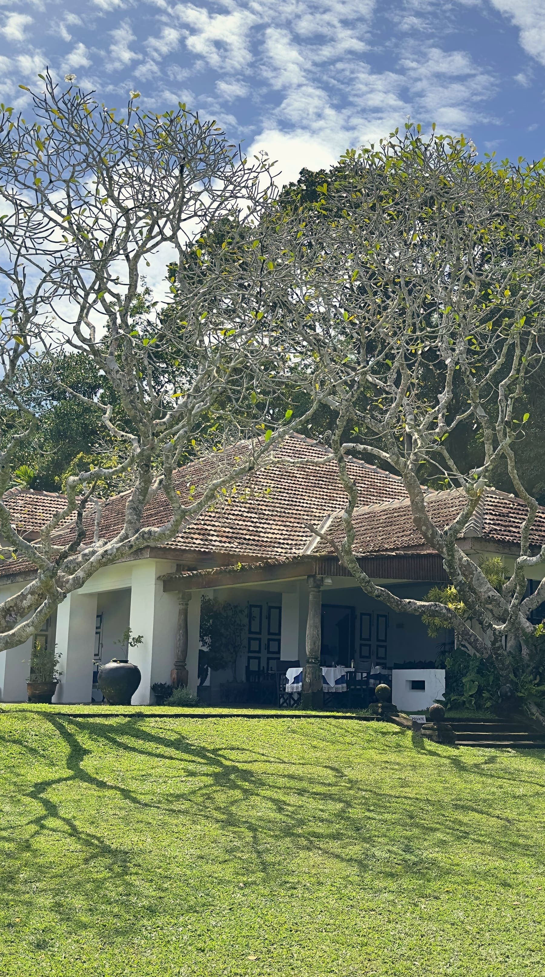
Weligama
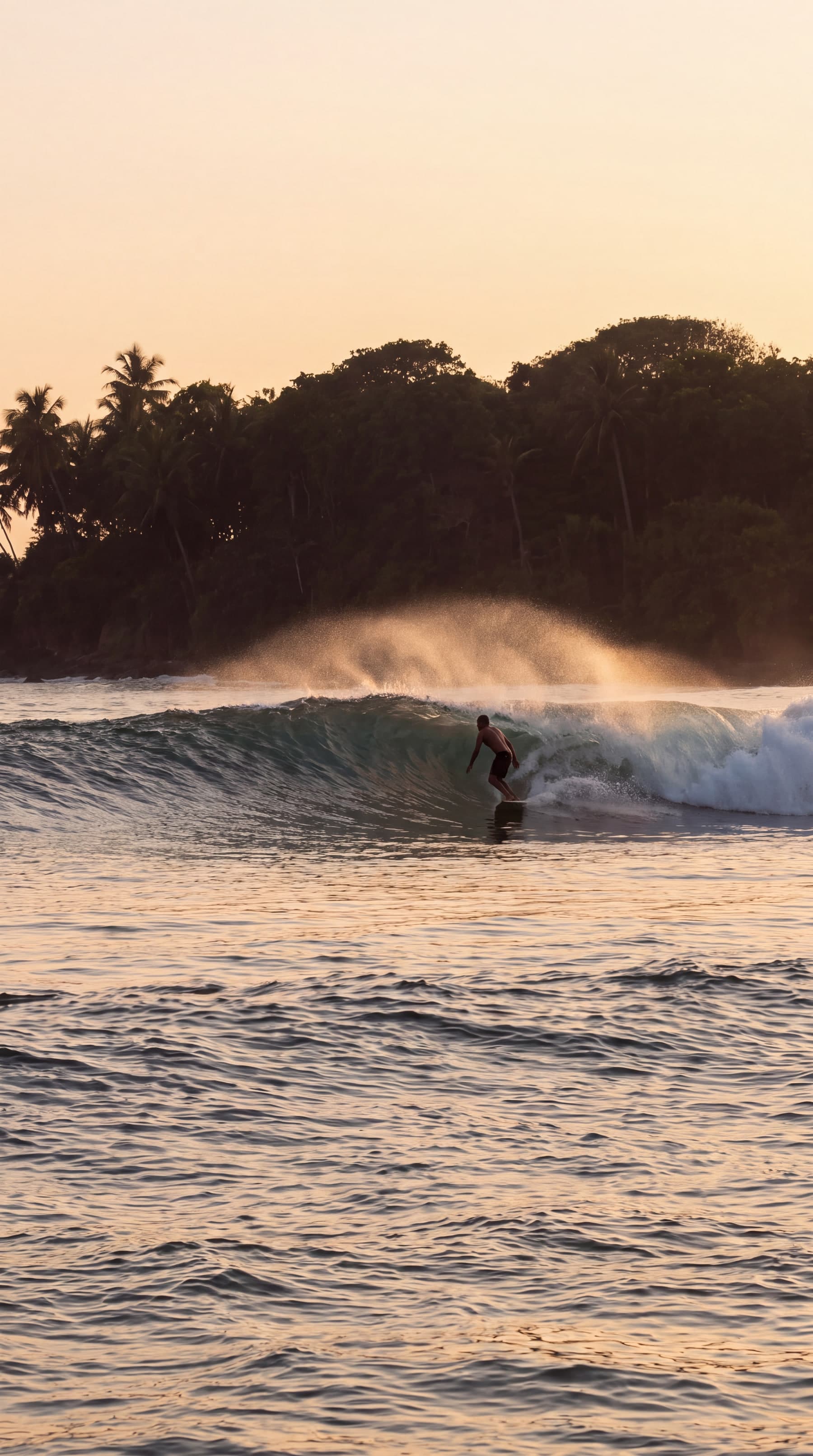
A wide, gentle bay: the beginner's surf, the stilt fishermen, an island villa
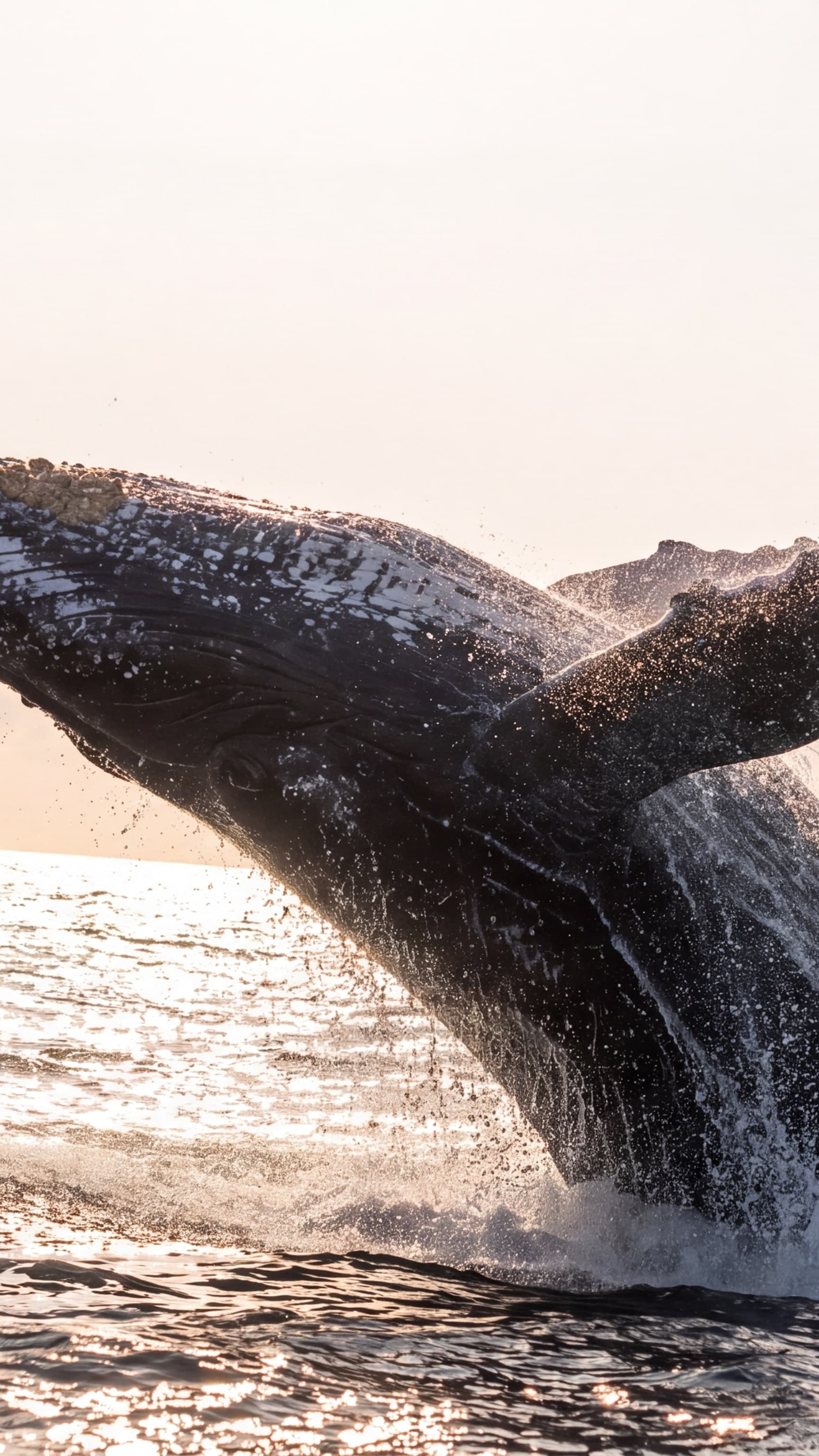
Mirissa
The whale-watching harbour of the south, blue whales November to April
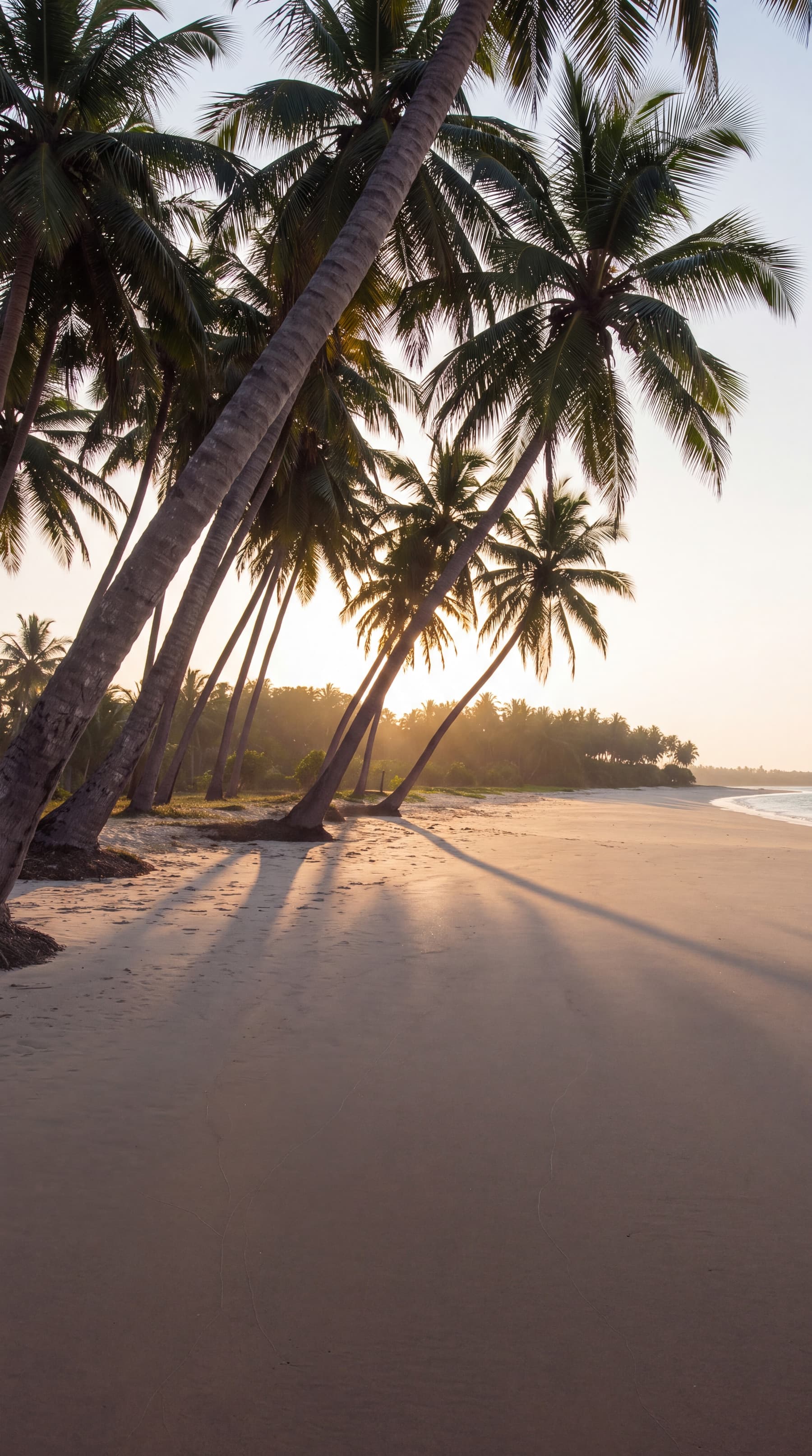
Tangalle
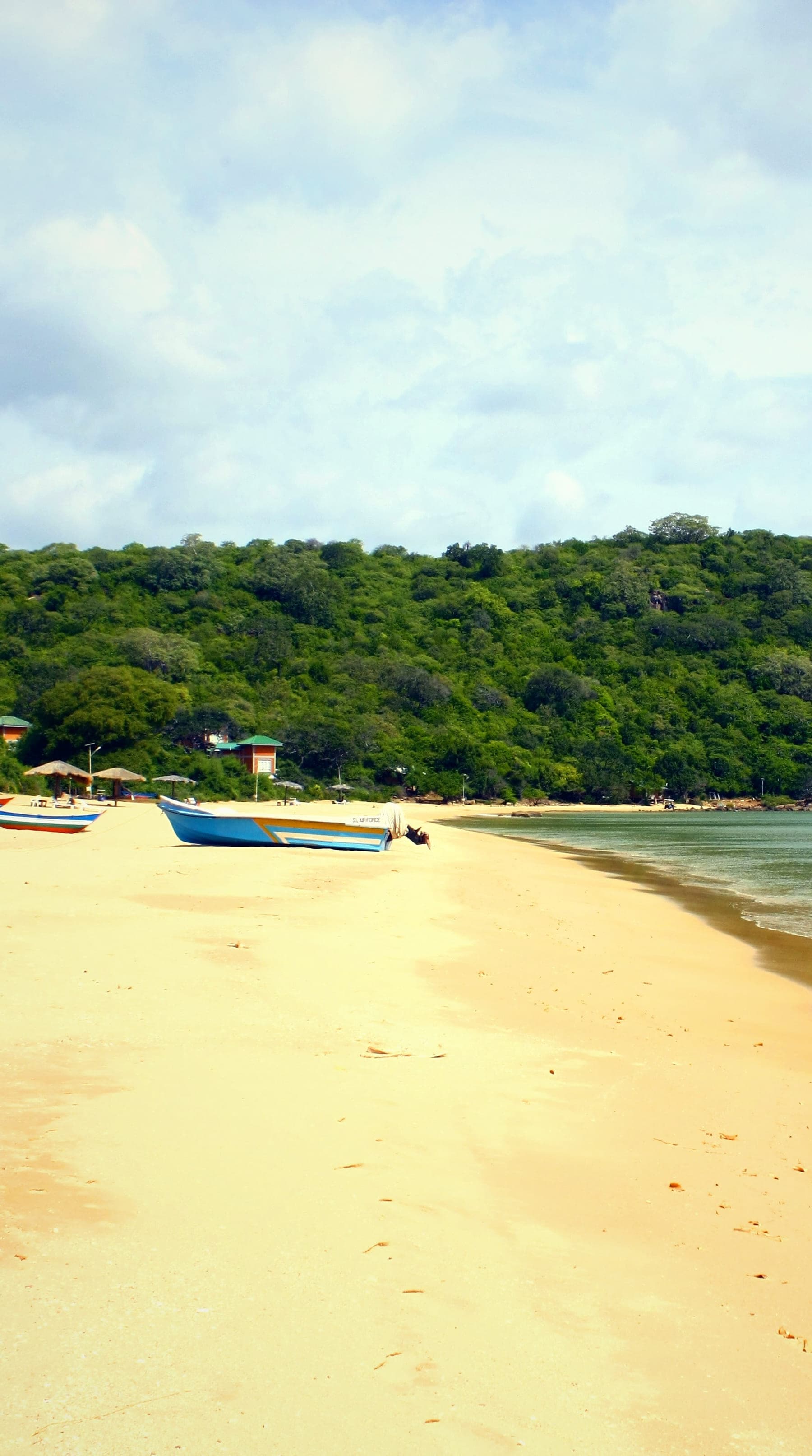
The quiet coves of the deep south, and the turtle beach at Rekawa
Wild south and east
3 places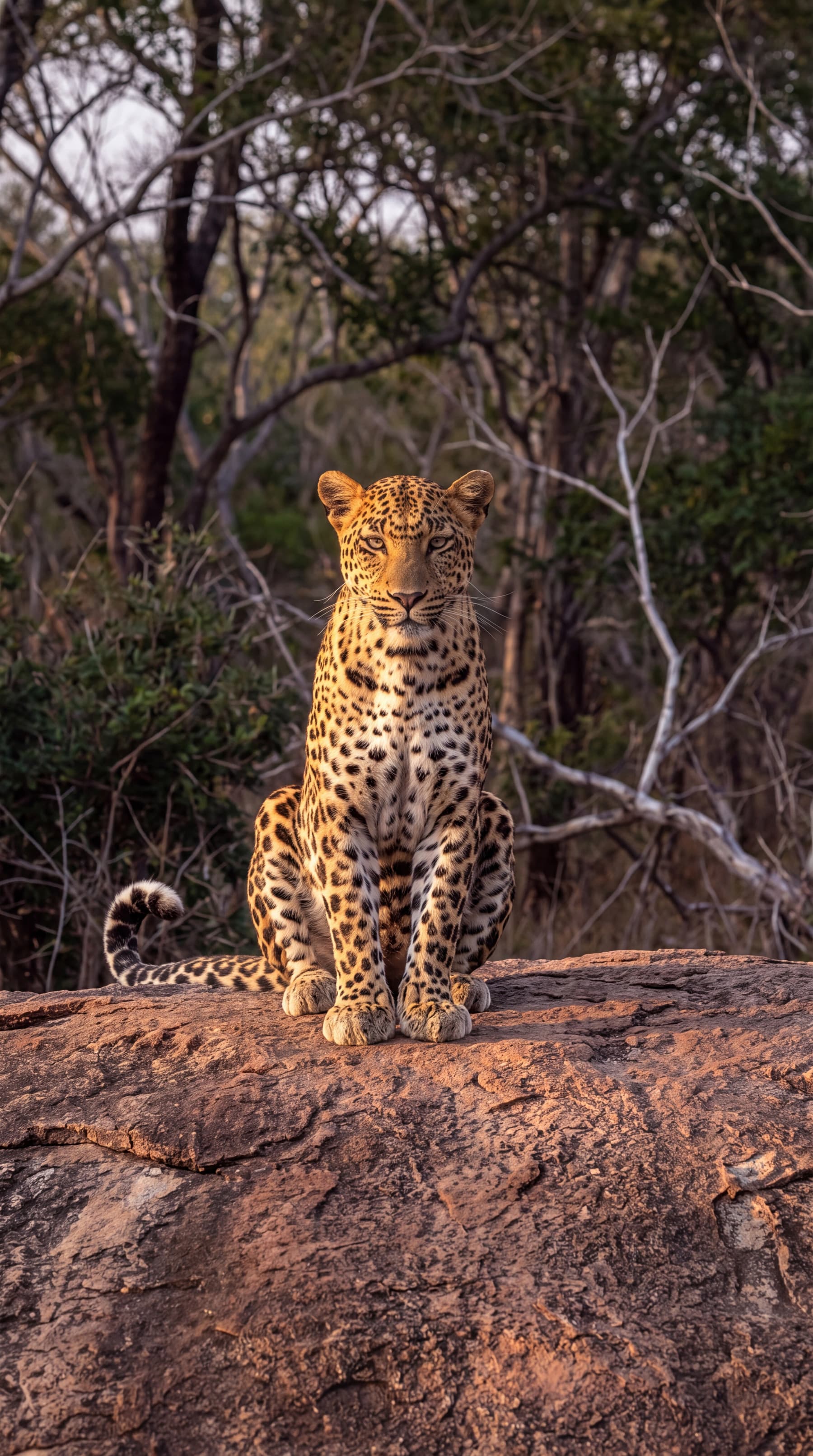
Cultural triangle
6 places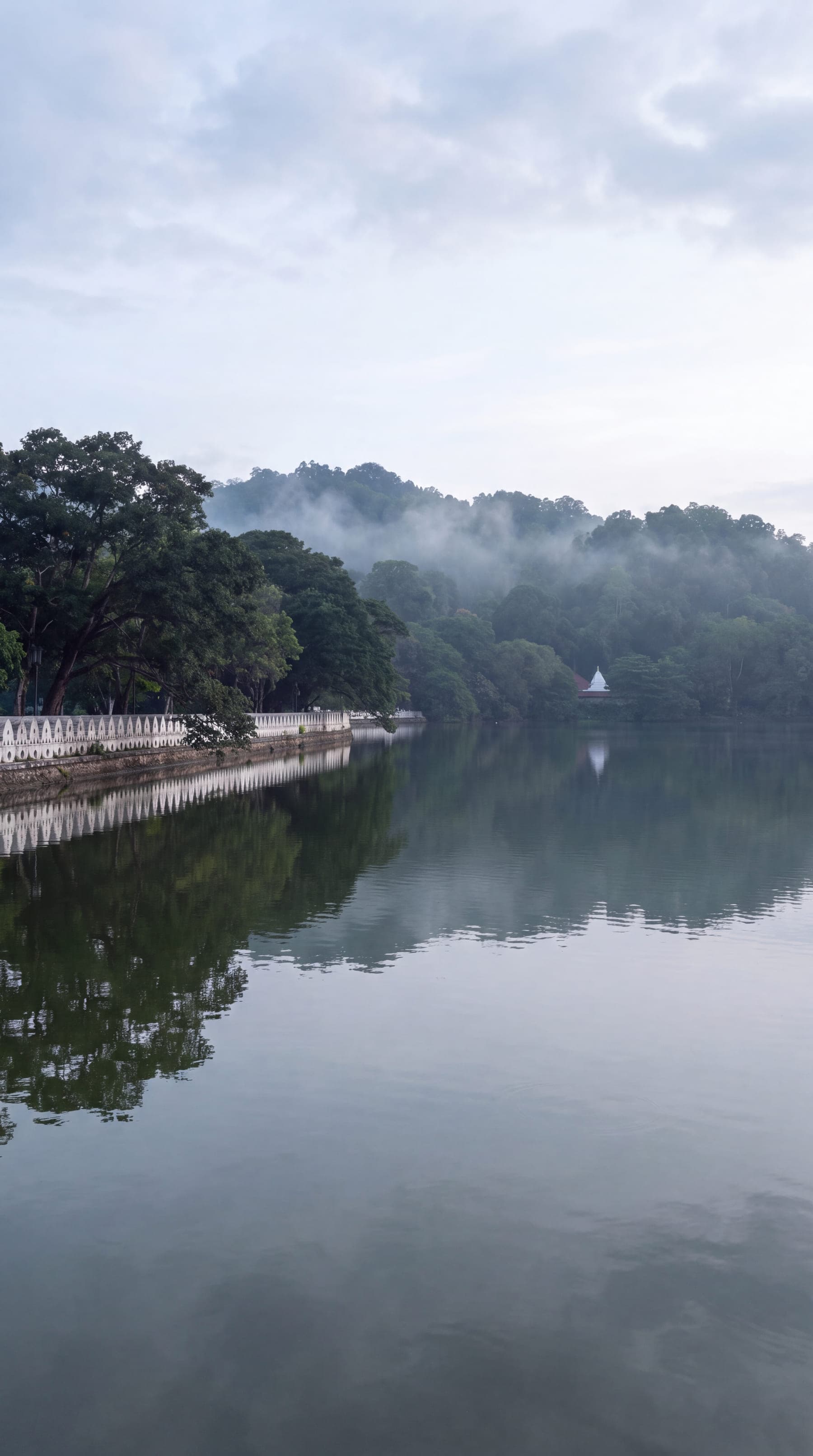
Kandy
The last royal capital, the Temple of the Tooth, a World Heritage Site
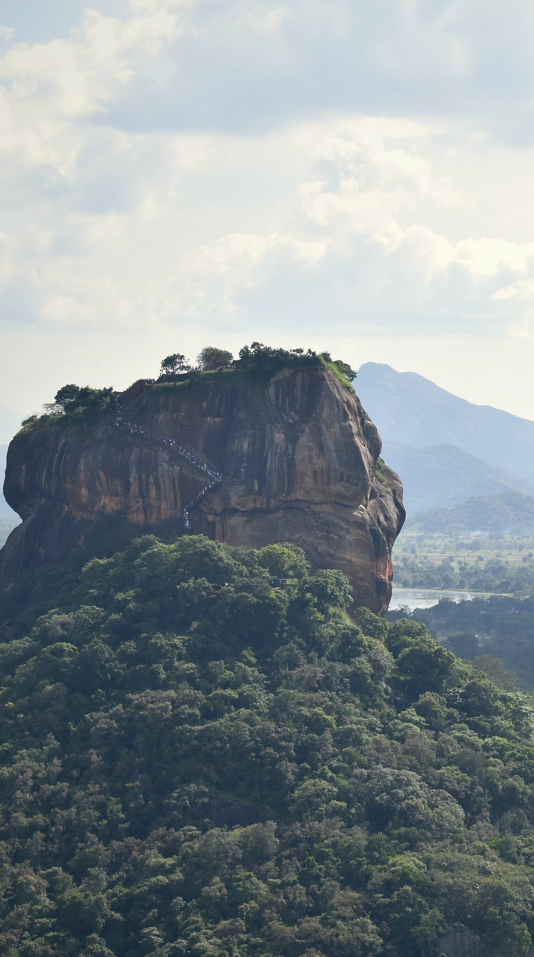
Sigiriya
The 5th-century rock fortress, 180 m above the plain
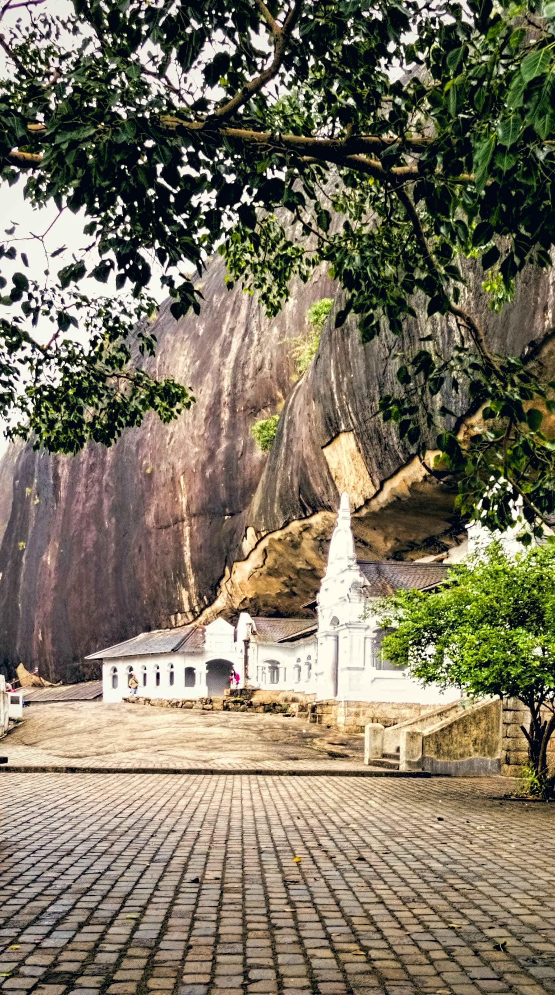
Dambulla
The cave temple with 153 Buddhas, at the hub of the Cultural Triangle
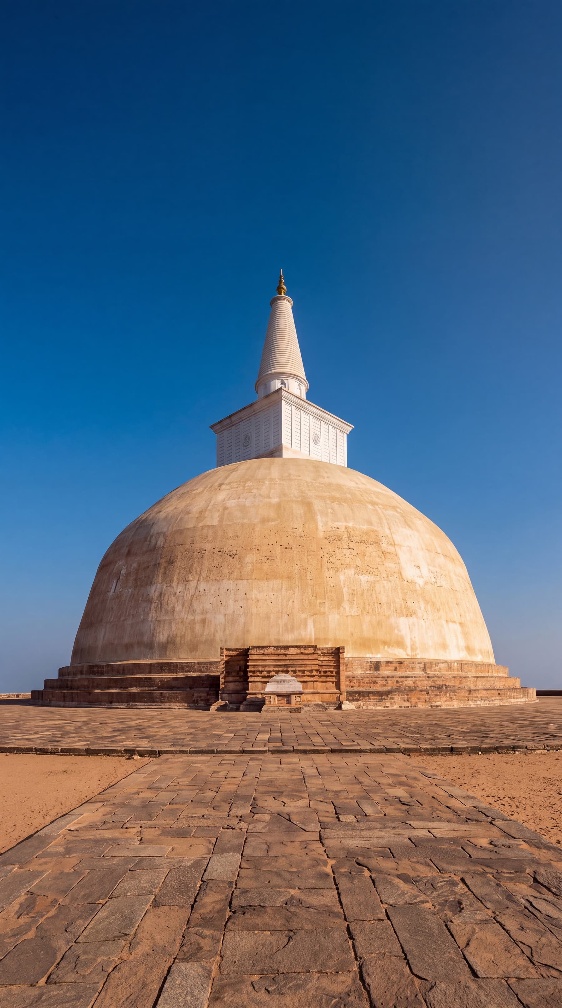
Anuradhapura
The first capital, 1,400 years of it, and the oldest planted tree on earth
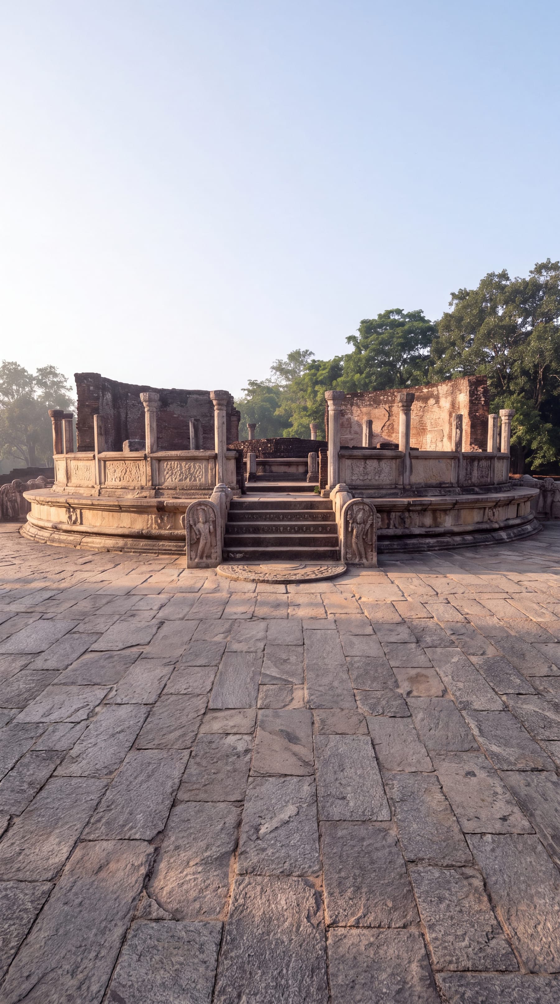
Polonnaruwa
The second capital: Gal Vihara's Buddhas beside the great reservoir
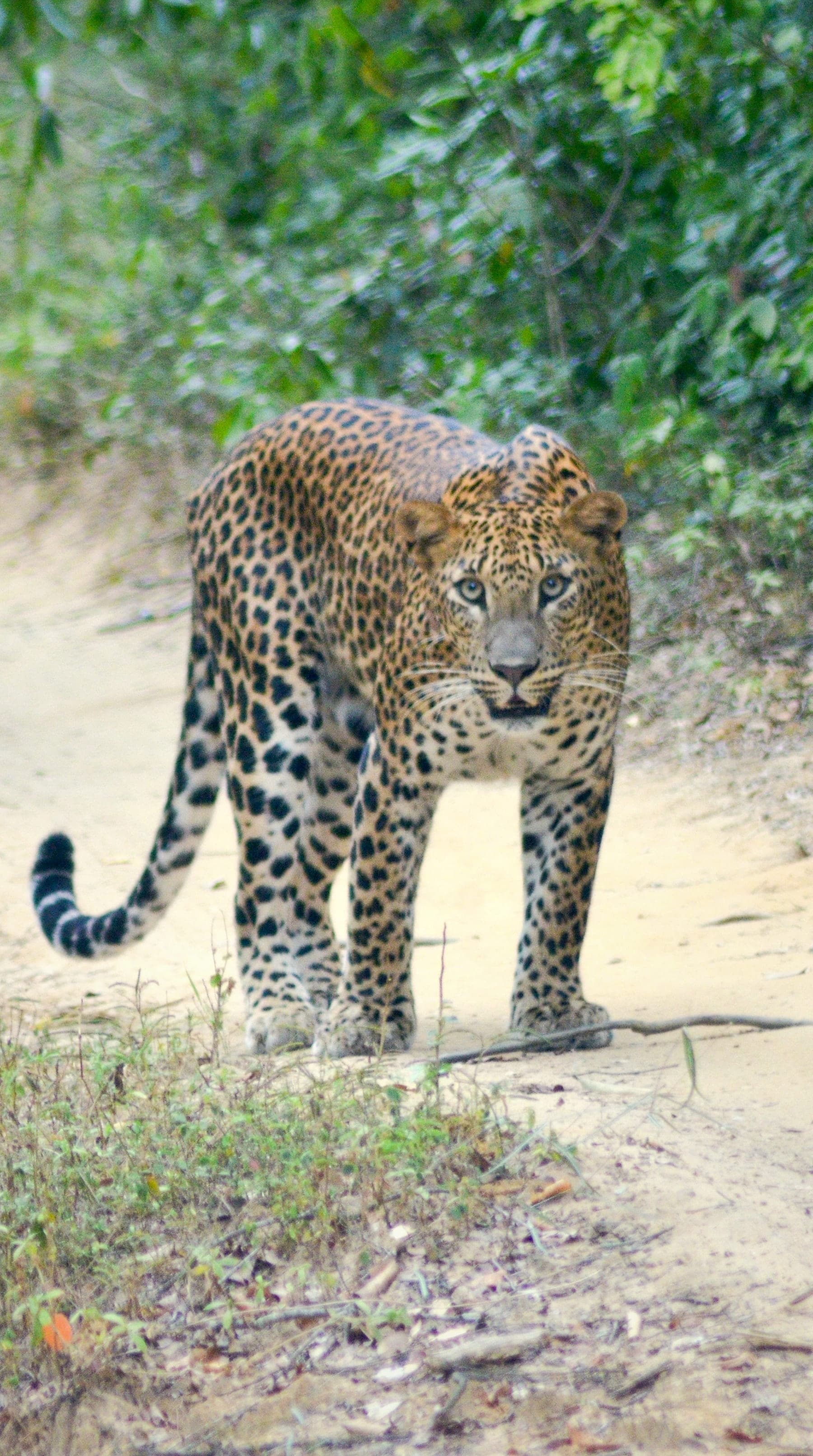
Wilpattu
The largest park, the quietest: leopards among 106 lakes
Hill country
4 places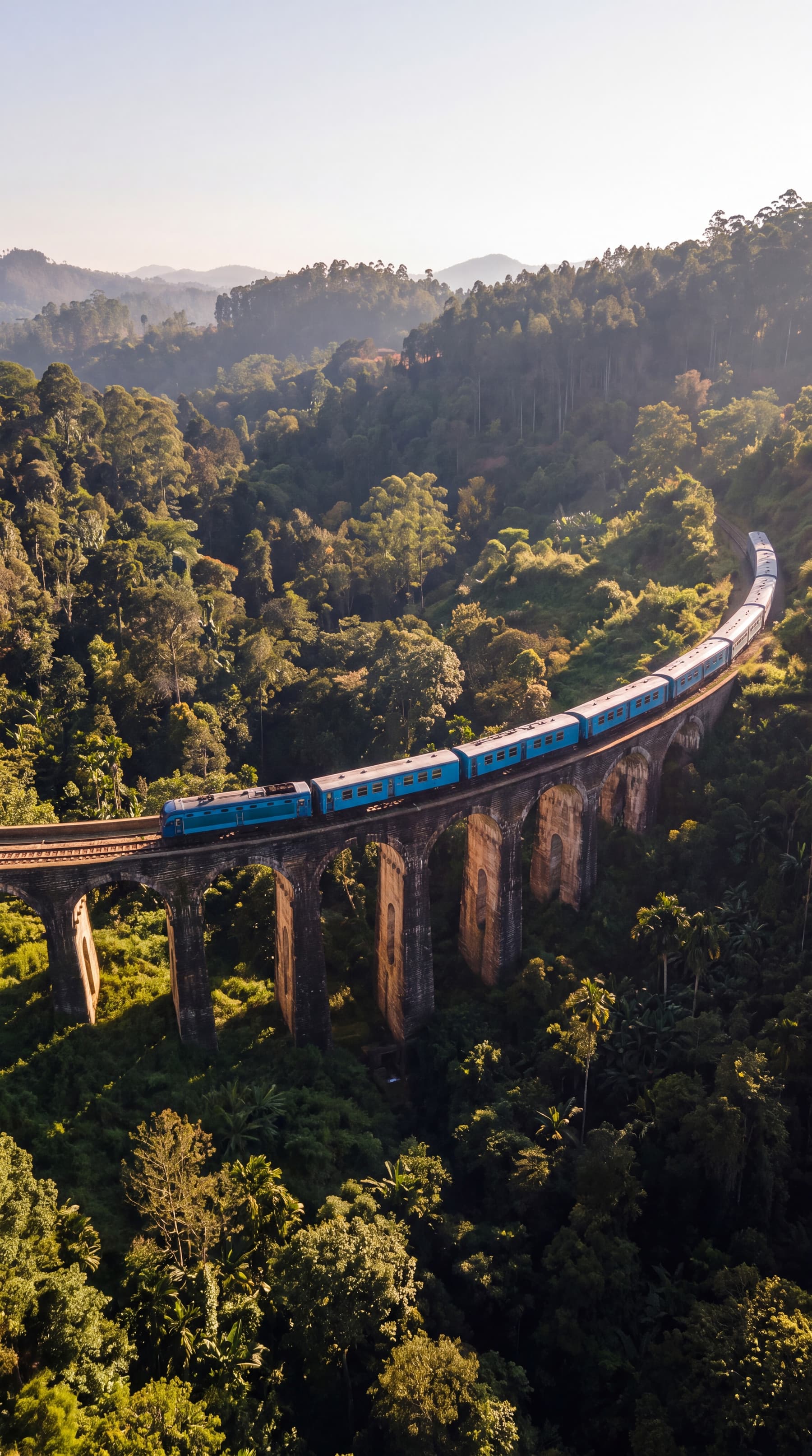
Ella
The hill village at 1,041 m, the Gap, the bridge and the train
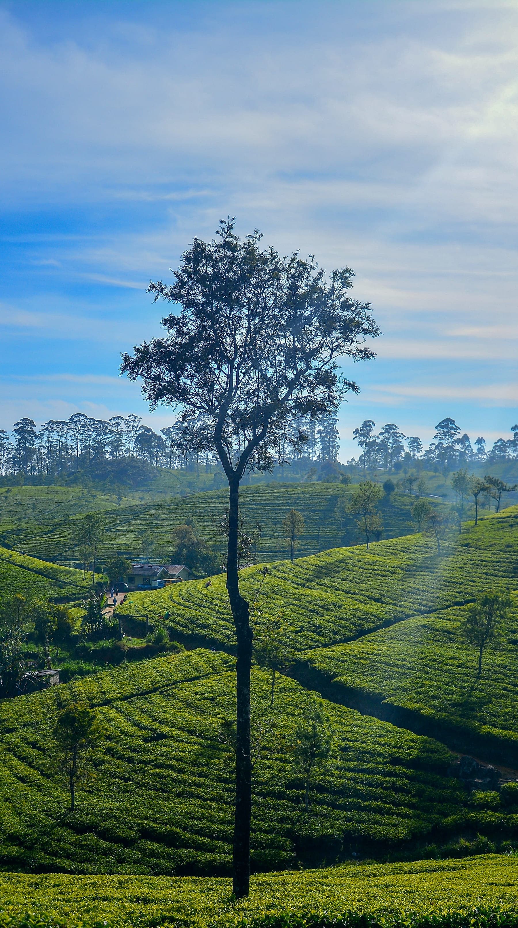
Haputale
The ridge town at 1,431 m, Lipton's Seat and the view over the plains
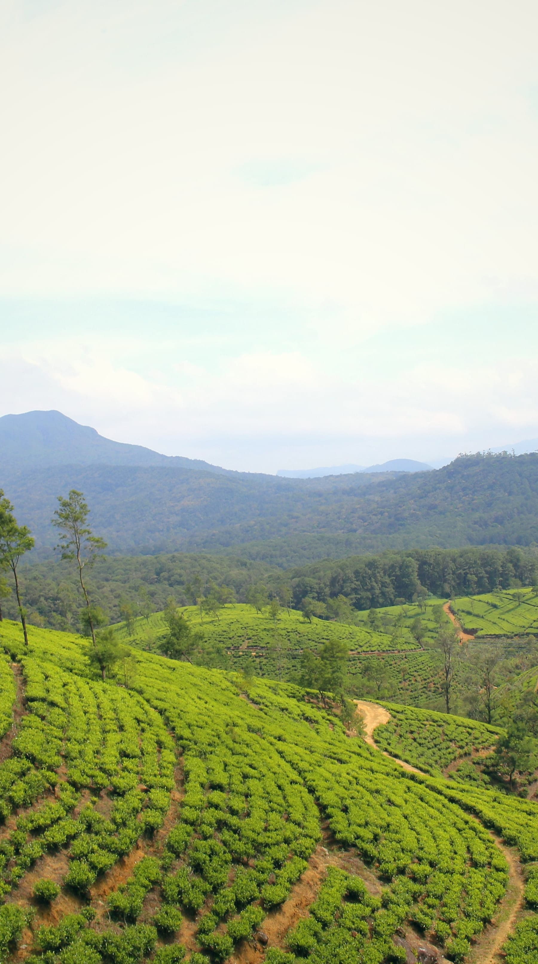
Nuwara Eliya
The highest town, at 1,868 m: Little England, and the heart of tea
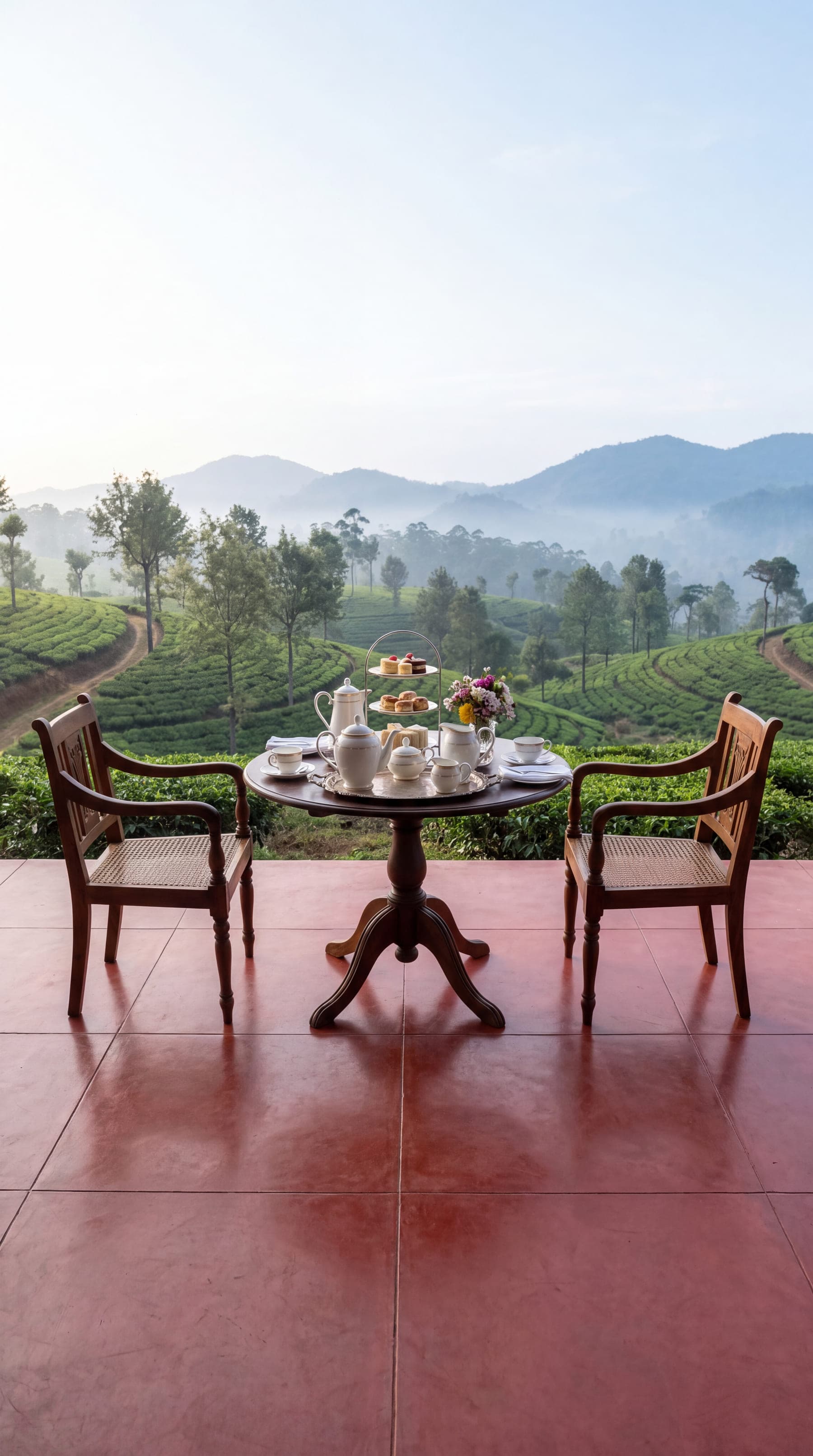
Hatton
Tea-estate country, the bungalows of Dickoya, and the road to Adam's Peak
Some place photographs are from Wikimedia Commons, each credited on its place's page.
Choose the places. We will draw the route.