
Haputale The ridge town at 1,431 m, Lipton's Seat and the view over the plains
The place
Haputale is a ridge town in the tea country of Badulla District at 1,431 m, with a highland climate averaging 18.8 C and about 1,938 mm of rain a year. Its ridge looks south over the plains, and on a clear morning the view runs to the coast. CNN named it one of Asia's most overlooked destinations in 2010, and it has stayed quiet since.
Lipton's Seat, above the Dambatenne estate, is where Sir Thomas Lipton surveyed his tea; the Dambatenne factory still works below it. Adisham Bungalow, a 19th-century house modelled on Leeds Castle, is now a monastery. Horton Plains National Park is reached via Boralanda, and Diyaluma Falls, 220 m, is within the district.
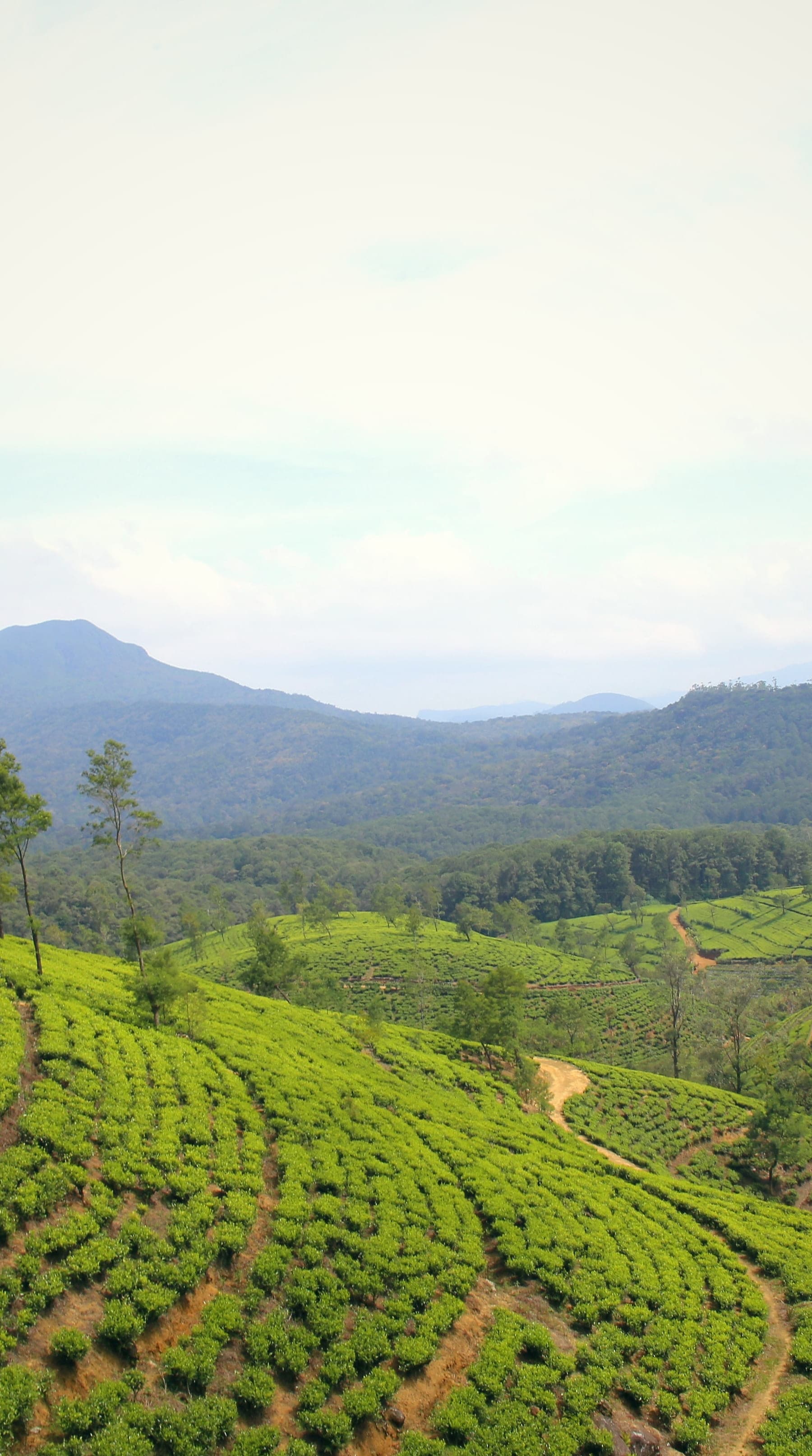
Photograph above: Linganathan Anushan, CC BY-SA 4.0, cropped and colour-graded, via Wikimedia Commons
When to go
January to April
Haputale sits on the southern edge of the hills, which take the south-west monsoon, May to October, on their slopes and some north-east monsoon rain, roughly October to January. January to April is the most settled window.
Getting there
- By road from Bandaranaike International Airport, a long day through the hills; Ella, 40 km further on, is 6 to 7.5 hours.
- Haputale station, opened on 19 June 1893, is on the Main Line, about 9 hours from Colombo.
Worth seeing
Lipton's Seat
Sir Thomas Lipton's viewpoint above Dambatenne.
Dambatenne Tea Factory
The estate and its working factory.
Adisham Bungalow
A 19th-century house modelled on Leeds Castle, now a monastery.
Horton Plains National Park
Reached via Boralanda.
Diyaluma Falls
220 m.
Asked often
- When is the best time to visit Haputale?
- January to April. Haputale sits on the southern edge of the hills, which take the south-west monsoon, May to October, on their slopes and some north-east monsoon rain, roughly October to January. January to April is the most settled window.
- How do you get to Haputale?
- By road from Bandaranaike International Airport, a long day through the hills; Ella, 40 km further on, is 6 to 7.5 hours. Haputale station, opened on 19 June 1893, is on the Main Line, about 9 hours from Colombo.
In Explore
Open Haputale in Explore to choose your stay, your room and your experiences, and add them to your journey.
Where to stay in Haputale
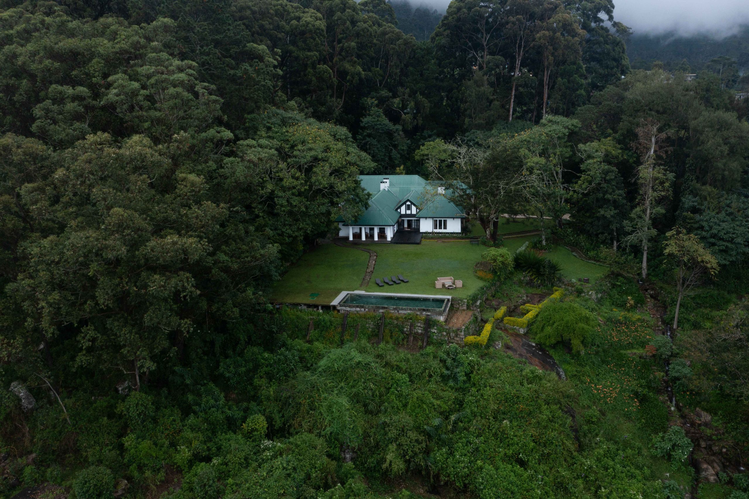 Boutique hotelThotalagalaPitaratmalie Estate on Dambatenne Road, Haputale, below Lipton's Seat
 Boutique hotelLiving Heritage KoslandaEgodawatte Estate, Naulla, Koslanda, at about 1,800 ft, 10 minutes down a narrow track off the main road below Haputale
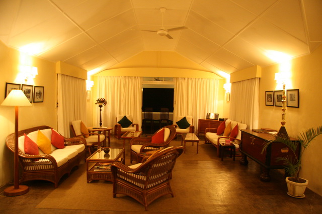 Boutique hotelKirchhayn BungalowAislaby Estate and Farm on Attampitiya Road, about 15 minutes from Bandarawela, at 1,400 m
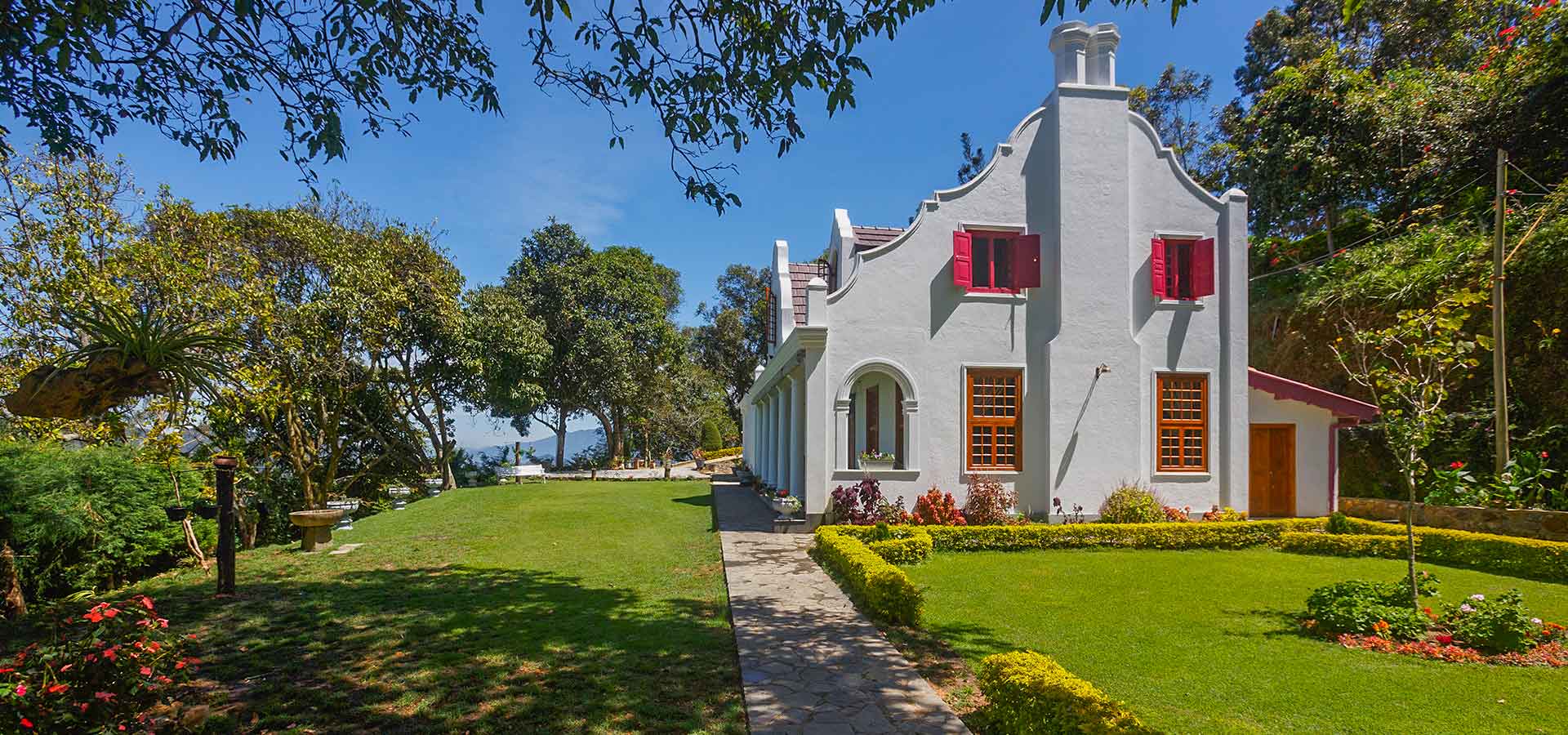 VillaDutch House BandarawelaBandarawela, in gardens laid out over 3 levels with views to the hills
Things to do from Haputale
- Adventure · a morning; the path leaves the Passara road about 20 minutes' walk from the villageThe walk up Little Adam's PeakLittle Adam's Peak is a pyramid-shaped hill of 1,141 m to the south-east of Ella, named after the far higher Adam's Peak. It is an easier walk than Ella Rock, crossing tea gardens before a short final climb to the ridge.
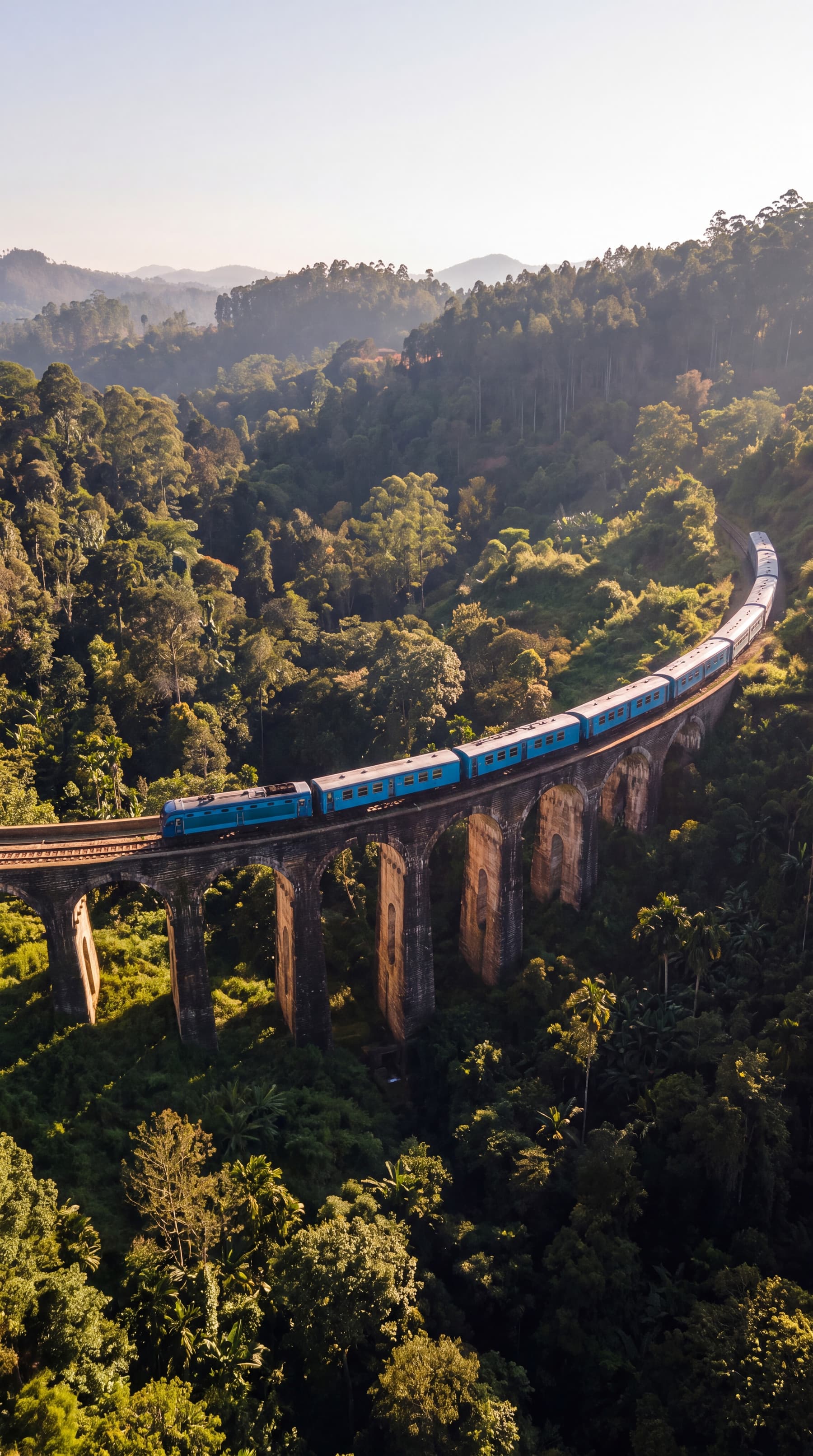
- Culture and heritage · about 45 minutes' walk each way from the villageA walk to the Nine Arches BridgeThe Nine Arches Bridge at Demodara, completed in 1919, carries the railway on a sharp curve between Ella and Demodara stations and is a landmark of colonial-era railway building. It was built by local labour under British supervision, and local folklore holds that it went up without steel, which had been diverted to the war.
- Nature and wildlife · a short outing; the falls are 6 km down the road through the Ella GapRavana Falls and the Ravana caveRavana Falls, about 25 m high and among the widest in the country, drops beside the road through the Ella Gap, 6 km from Ella; in the wet season it spreads over its rock face, and in the dry season the flow falls away sharply. It is part of the Ravana Ella Wildlife Sanctuary, and langur monkeys are often seen by the road.
- Water and coast · about 30 minutes' walk each way to the upper pools, plus time to swimSwimming in the pools above Diyaluma FallsDiyaluma, 220 m high and the second-highest waterfall in Sri Lanka, falls from the edge of the hills 6 km from Koslanda, on the road below Haputale. Above the main drop, its stream runs through a chain of rock pools where swimming is possible.
- Nature and wildlife · a morning; the viewpoint is 16 km by road from Haputale, the last 7 km above the Dambatenne tea factoryEarly morning at Lipton's SeatLipton's Seat is the lookout above the Dambatenne tea estate, at about 1,970 m, and was the favourite viewpoint of Sir Thomas Lipton, the tea merchant who lived on the estate. On a clear day the view spreads over 5 provinces, and the sea shows on the far horizon.
- Culture and heritage · about 1 hour; open on weekends and public and school holidays, 09:00 to 16:30Adisham, the planter's house near HaputaleAdisham is a country house of 1931 just outside Haputale, built in Tudor and Jacobean style for the planter Sir Thomas Villiers and modelled on Leeds Castle in Kent. Since the 1960s it has been a Benedictine monastery, and the house keeps its period fittings and furniture.
- Adventure · a single stage of about 9 to 21 km, 2 and a half to 6 hours on footA day's walk on the Pekoe TrailThe Pekoe Trail is a walking route of about 300 km through the tea country of the central highlands, laid out in 22 stages from Hanthana above Kandy to Pedro near Nuwara Eliya, by way of Hatton, Horton Plains, Haputale and Ella. It follows the old cart roads built in colonial times to carry tea, estate lanes and the footpaths the tea pluckers use.
- Nature and wildlife · a morning: 3 to 5 hours on the 9 km loop, entering at about 06:00; the Pattipola gate is 32 km, 1 to 1 and a half hours, from Nuwara EliyaHorton Plains and World's EndHorton Plains is a plateau of montane grassland and cloud forest at 2,100 to 2,300 m, the source of the Mahaweli, Kelani and Walawe rivers and part of the Central Highlands World Heritage Site. Its 9 km circuit leads to World's End, a sheer escarpment with a drop of about 870 m, and back past the 20 m Baker's Falls.
- Culture and heritage · a short visit on the Badulla road, about 10 minutes from Ella and 30 from HaputaleThe Dowa rock temple and its unfinished BuddhaDowa is a rock temple beside the Badulla road, about 7.5 km north of Bandarawela, believed to have been founded by King Valagamba in the 1st century BC while he sheltered in Uva from an invading army. It has been an archaeological protected monument since 1996.
- Nature and wildlife · a ridge path of 4.3 km from end to end; the start at Adisham is about 15 minutes from Haputale and 45 from EllaA walk through the Thangamale bird sanctuaryThangamale is a sanctuary of 131 ha of forest on the ridge west of Haputale, protected since 1938 at the request of the planter Sir Thomas Villiers, whose country house at Adisham stands beside it. Its name means golden hill in Tamil, and its birds include species found only in Sri Lanka, such as the yellow-eared bulbul and the Sri Lanka white-eye.
- Nature and wildlife · about 1 and a half to 3 hours, depending on the estate and the routeA guided walk on a working tea estate, arranged with your stayMany of the planters' bungalows and hotels in the tea country stand on working estates, and walks on the estate's own trails are among the things they arrange most often. A naturalist or a member of the estate staff leads the way through the tea to viewpoints and grassland above the valleys.
- Nature and wildlife · a walk of about 300 m from the car park; about 1 hour by road from HaputaleBambarakanda, the island's highest waterfallBambarakanda, at 263 m, is the highest waterfall in Sri Lanka, dropping down a cliff at Kalupahana in the Badulla district, 5 km off the A4 road. It is formed by the Kuda Oya, a tributary of the Walawe river, and the land around its foot is planted with pine.
Haputale in your journey? Build it in Explore.